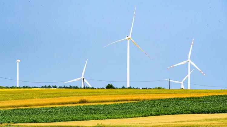
 Credit: Adobe Stock
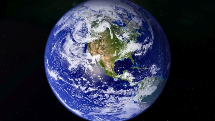
Scientists from the Military University of Technology proposed an innovative method of measuring groundwater depletion based on GPS measurements. It will be possible to monitor groundwater level changes remotely - even in the most remote parts of the world.
They published their research results in the prestigious journal Remote Sensing of Environment.
'Groundwater is currently the source of about 33% of total water supplied to households and businesses, it accounts for about 30% of the global freshwater, and its resources in the first period of the 21st century contribute to as much as 25% of the increase in global mean sea level. According to the latest research, nearly 5 billion people live in areas at risk of lack of access to fresh water. Over the past few decades, the rapid increase in demand for water has more than doubled the rate of groundwater depletion, and as a result, groundwater depletion has been recognized as a global phenomenon', we read in the Military University of Technology press release.
For now, as explained in the release, global and regional groundwater resources and their variability are being studied through measurements with traditional instruments such as ground-penetrating radar and a network of wireless sensors. Measurements are made on site, in the field, but their availability is limited due to high measurement costs.
Despite the fact that remote sensing techniques are developing and ground observations are becoming more and more accurate, models describing the groundwater level are still not fully reliable, say representatives of the Military University of Technology. It is already known from geodetic studies that changes in water resources lead directly to displacements of the Earth's crust due to mass exchange and the so-called stress effect.
'Therefore, in order to monitor global and regional groundwater level changes, observations provided by geodetic measurement techniques have been successfully used, although they are indirect measurement techniques. The issues of using geodetic measurement techniques to analyse the distribution and movement of land water on and just below the Earth's surface are addressed by a relatively new area of Earth sciences - hydrogeodesy', explains the paper co-author, Dr. Artur Leńczuk.
Research has shown that geodetic observations from the GRACE (Gravity Recovery and Climate Experiment) and GRACE Follow-On missions, conducted since 2002, can be used to assess changes in water resources on continents. However, the use of GRACE data to determine groundwater resources is still somewhat limited due to the low spatial resolution of the available data (3 degree x 3 degree grid).
Precise information about any local changes can, however, be obtained using observations provided by the GPS (Global Positioning System) geodetic navigation technique, which is sensitive not only to changes related to the land hydrosphere, but also to other local effects, often treated as observational noise.
'In this paper, we have demonstrated the enormous potential of GPS technology for local research related to spatial and temporal changes in groundwater levels in regions with no access to on-site measurements. This applies to Brazil, Central Africa, Jordan and Bangladesh. We have shown that over 20,000 continuous GPS antennas worldwide are sensitive to extreme seasonal cycles caused by precipitation or drought, highlighting the high consistency of GPS observations with wet and dry periods captured by hydrological and climate data', says Dr. Artur Leńczuk.
The authors of the publication also showed that in over 40% of continental areas (including Europe), an alarming condition is observed due to the declining state of groundwater resources, causing permanent uplift of the Earth's crust related to its elastic reaction.
The authors of the publication are employees of the Faculty of Civil Engineering and Geodesy of the Military University of Technology: Dr. Artur Leńczuk, Dr. Anna Klos, a professor at the Military University of Technology, and Professor Janusz Bogusz.
PAP - Science in Poland
lt/ agt/ kap/
tr. RL
Przed dodaniem komentarza prosimy o zapoznanie z Regulaminem forum serwisu Nauka w Polsce.