 Gord Walik in Brzezowa, Photo: Michał Pisz
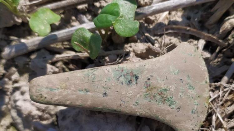
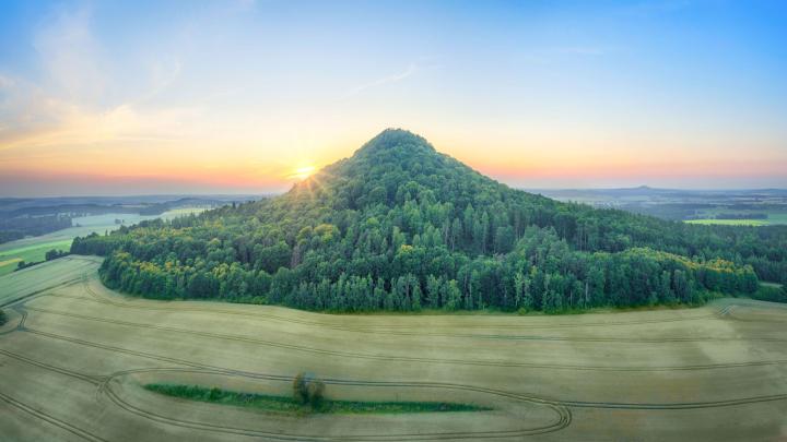
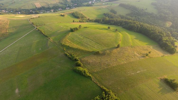
One of the highest-located early medieval gords in Poland, located in Brzezowa, was stronger than scientists thought. Located in the Low Beskids, it was surrounded by three, not two, rampart lines, archaeologists determined during research in August.
Gord Walik in Brzezowa (471.5 m a.s.l.) was discovered by archaeologists nearly 70 years ago. Four decades ago, excavations were carried out, as a result of which it was possible to determine the age of the fort. It turned out that the Slavic gord existed in this place in the 9th-10th centuries AD. It was believed to be surrounded by two rings of ramparts, which are visible to this day even to a height of 3-4 m.
The gord was built on the plan of an irregular quadrangle. During the latest field research in August, archaeologists located the third line of fortifications in the form of another rampart.
"The gord in Brzezowa was therefore the largest structure of this type in the region at that time" - says Michał Pisz from the Faculty of Geology of the University of Warsaw, who was involved in the project. Scientific consultant, Prof. Michał Parczewski from the Institute of Archaeology in Rzeszów believes that while the structure might may have been among the largest in the region, it was not necessarily the most important. In his opinion, it could be intentionally located in a remote area because of fear of invaders. Today this place is also rarely visited, far from the main roads.
Researchers spotted the previously unknown rampart in aerial photos. In total, almost one thousand oblique and perpendicular aerial photographs were taken for the purposes of the analysis. Photographs were taken at different times of the day so that the shadows cast by the terrain were visible from different sides.
The fort did not function for a long period. Despite the huge fortifications, it was burned down in the 10th century; archaeologists found traces of a huge fire during earlier excavations.
Thanks to this research, it was possible to determine, for example, that one of the ramparts was partly made of wood or wicker covered with clay. It is clearly visible on magnetic maps because it was burned, and the magnetometer can "see" burned elements better, Pisz emphasizes.
Why is the third ring of fortifications visible in aerial photographs, but remains invisible to magnetic equipment? "It was probably an earth rampart - it did not have wooden structures, which would become readable for magnetic measurements as a result of burning. Another explanation is that the structure existed, but was not burned or did not survive" - adds Pisz.
Until now, the gord`s area was estimated at over 4 ha. Assuming that aerial photographs the third rampart line, the whole site area could reach 6-10 ha.
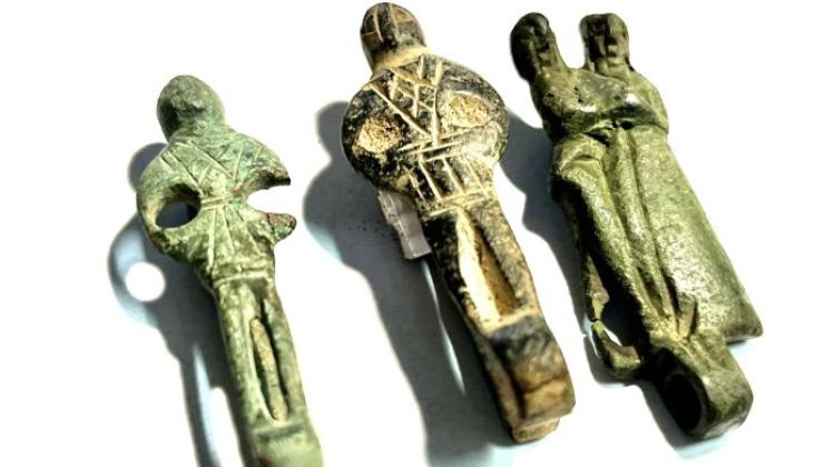
The defensive properties of the place were appreciated by previous inhabitants of the area, over 1500 years ago. In the place of the later gord there was a Przeworsk culture settlement attributed to one of the Germanic tribes.
This year`s studies of the gord consisted of using a spectrum of non-invasive methods (not interfering with the object) on a small scale. All data, including archival data, will be integrated in a digital database. Researchers scientists will now analyse which methods have worked best. The next step will be to start the next project using the most effective non-invasive method on a large scale.
PAP - Science in Poland
author: Szymon Zdziebłowski
szz/ ekr/ agt/ kap/
tr. RL
Przed dodaniem komentarza prosimy o zapoznanie z Regulaminem forum serwisu Nauka w Polsce.