Europe joins forces to use satellite data

Using massive amounts of satellite data from European satellites will be the task of the project Earth Observation for South-Eastern Europe (EO4SEE), carried out by countries including Poland on behalf of ESA. The solution will use the EO Cloud platform prepared by the consortium, whose members include Polish companies.
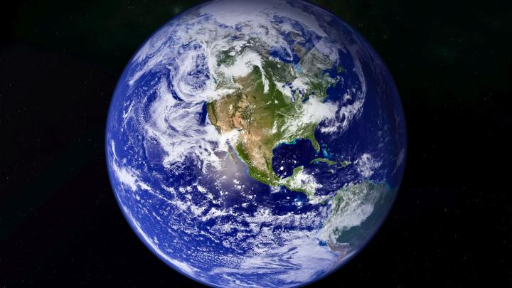
Working for years in orbit, satellites of the European Space Agency (ESA) collect huge amounts of data every day. Newly built satellites, such as those from the Sentinel family open up new possibilities for Europe. To take full advantage of the research and business potential of satellite data, tools are needed for processing and analysing the data collected in orbit.
Today the amount of information is so huge that analysing and processing it with currently available tools becomes ineffective. That is why in 2014 the European Space Agency launched the EO Exploatation Platform (EPs), as part of which by 2017 Europe will built an ecosystem of thematic platforms for processing and analysing huge amounts of data coming from ESA satellites with tools for analysing this type of data sets (Big Data).
One of the platforms will be the project Earth Observation for South-Eastern Europe (EO4SEE) implemented by the countries lying between the seas: the Adriatic, Baltic and Black See. The project is designed to use the full potential of the vast amounts of satellite data on South-Eastern Europe, collected by ESA satellites over the last 20 years.
The platforms are being built by a consortium of entities from the Czech Republic, Romania and Poland, headed by Romanian company Terrasigna. The solution will use the platform EO Cloud, which is a repository of satellite data combined with a computing cloud, successfully launched last year and developed in our country by Creotech Instruments SA and CloudFerro.
"The project EO4SEE creates a work environment that will provide convenient access to satellite data on the region, as well as tools to help in their processing in view of issues such as flood risk management and flood prevention, monitoring and detection of environmental risks, management of protected areas and natural resources" - said Dr. Grzegorz Brona of Creotech Instruments SA. "The platform will also allow for integrated coastal zone management and will provide technological support for archaeological research and cultural heritage management" - added Dr. Brona.
PAP - Science and Scholarship in Poland
ekr/ agt/ mrt/
tr. RL
Przed dodaniem komentarza prosimy o zapoznanie z Regulaminem forum serwisu Nauka w Polsce.