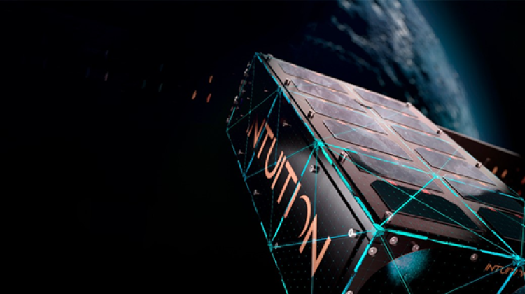
Launch of Światowid satellite scheduled for the beginning of 2018
Światowid - the first Polish satellite commercial - will be launched into space in the first quarter of 2018. It will be launched on a rocket Neptune N3 from a floating platform in the Pacific Ocean. Along with it, two PhoneSat nanosatellites will be placed in orbit.
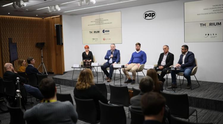
SatRevolution from Wrocław is responsible for the preparation of the first Polish commercial satellite. In early October, the company signed an agreement with the American company Interorbital Systems, based in Mojave, California (USA) on elevation of Światowid into orbit. In addition to Światowid, two PhoneSat nanosatellites will also be placed in space.
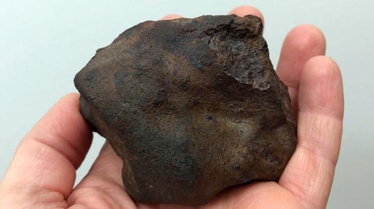
"So far, three Polish non-commercial satellite have been launched into space: PW-Sat, which is the result of a student project, and the two scientific satellites - Lem and Heweliusz. With SatRevolution, we want to revolutionize the Polish space market, and begin by placing three objects at once in orbit - Światowid and two accompanying PhoneSat nanosatellites. PhoneSat solutions are based on Android and utilize electronic components used in mobile phones. We want to see how this type of satellite will behave in space" - said co-founder of SatRevolution SA Grzegorz Zwoliński.
Światowid will be carried into space by Neptune N3 rocket, suitable for transporting small loads into low earth orbit. It will place the three satellites at an altitude of 310 km above the Earth\'s surface. It is capable of carrying up to 10 objects on board. It is resistant to vibration and extreme conditions in the ionosphere, including frequent and sudden temperature changes, ranging from minus 150 deg. Celsius to 300 deg. Celsius.
The US government granted licenses for the launch of the satellites in the first quarter of 2018, which is a later date than originally planned. According to preliminary plans Światowid was expected to launch in the third quarter of 2017. The rocket will take off from a floating platform in the Pacific Ocean, and fly over the Mojave Desert.
"Światowid is a research satellite. Its primary task will be to study, among other things, the intensity of the magnetic field, changes in the Earth\' magnetic field and gravity and weather changes and phenomena in the thermosphere" - told PAP Grzegorz Zwoliński.
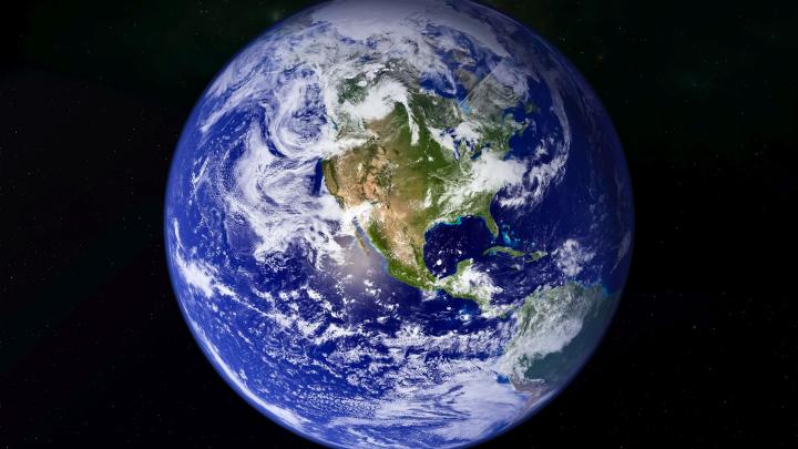
Remote sensing carried out by Światowid will allow to obtain essential information on the terrestrial environment. Images obtained through its optical system can be used in meteorology, oceanography, geology and cartography. Large potential field of applications of satellite imagery is also forestry and agriculture. Data may also be of interest to construction companies planning their investments in hard to reach areas and companies specialising in cartography. Satellite images are also used in the planning of local land development, disaster risk assessment and environmental monitoring for climate change.
In addition, the satellite will study gravity depending on latitude and longitude. It is also planned to create a map and monitor gravity changes over time. These data can be used to study the movement of tectonic plates and detect possible threats. "The results will certainly be of interest to universities and research institutes. Private investors will also find something for themselves" - said SatRevolution co-founder.
PAP - Science and Scholarship in Poland
ekr/ agt/ mrt/
tr. RL
Przed dodaniem komentarza prosimy o zapoznanie z Regulaminem forum serwisu Nauka w Polsce.