Wrocław idea will warn against flooding
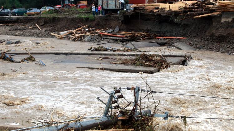 Photo: PAP 2014 / Grzegorz Momot
Forecast of water level in rivers updated every 15 minutes and e-mail warnings of certain hydrological threats are elements of the HydroProg system developed at the University of Wrocław. Its experimental version is available to Kłodzko Valley residents, but scientists want the system to include some other catchments, including the upper and middle Odra.
"HydroProg is an early warning system for hydrological threats, mainly raised water levels or floods" - told PAP Dr. Tomasz Niedzielski, associate professor at the University of Wrocław and Head of the Department of Geoinformatics and Cartography.
The system has been experimentally launched for the upper catchment of Nysa Kłodzka. All local residents use the interactive and updated every 15 minutes of map service: http://www.klodzko.hydroprog.uni.wroc.pl/ to check the water level at a given point on the river. In the future, they will also see where the river can leave its bed during the flood. "Our system can be commercialised and used anywhere on Earth. In the ongoing project, we want to expand it to include the catchments of the upper and middle Odra" - explained the scientist.
The system is based on the so-called combined forecast, which is formed as the result of a number of hydrological models. Such models are created based on the data obtained from hydro-meteorological stations in the area. "Models supply the water level forecasts to HydroProg. One model shows an underestimation, another an overestimation. The aim of our system is to combine these different models and prepare a single forecast. The system intelligently takes the best features from each model" - said Dr. Tomasz Niedzielski.
His Department of Geoinformatics and Cartography, University of Wrocław has a number of hydrological models. "There should be more of them. Therefore, we invite other scientists and research groups to help us calculate forecasts with other models" - explained Niedzielski.
The system prepares forecasts and hydrological threat warnings. All of them are automatically published in real-time on the map website, which is available online for all internet users, including the residents of Kłodzko Valley. This gives them access to the current experimental hydrologic forecasting for the area.
Tomasz Niedzielski emphasised, however, that from the point of view of a citizen the most important information is, at which point the water will pour out, if the level rises. The HydroProg system was expanded with a spatial module, which will allow to determine in advance the range of possible flooding. "To simulate these ranges, we need spatial information about how the flood develops in reality. That is why part of the system is also an unmanned aircraft, which verifies the accuracy of the forecast flooding ranges" - Niedzielski described.
Work on the patent pending system HydroProg was financed by the National Science Centre.
PAP - Science and Scholarship in Poland, Ewelina Krajczyńska
ekr/ agt/
tr. RL
Przed dodaniem komentarza prosimy o zapoznanie z Regulaminem forum serwisu Nauka w Polsce.