Institute of Meteorology and Water Management: The Sat4Envi project website will launch at the end of 2020
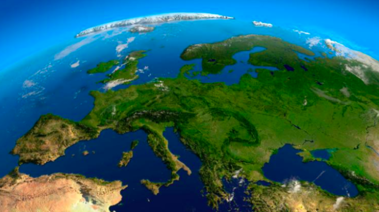
 Photo: Fotolia
The Sat4Envi project website will launch at the end of 2020. The purpose of the project is to create a tool for universal and easy access to satellite data. The Sat4Envi project is being implemented by a consortium led by the Institute of Meteorology and Water Management.
Nearly PLN 18 million from EU funds under the Operational Program Digital Poland has been awarded to Polish institutions, including the Institute of Meteorology and Water Management - National Research Institute, for storage, processing and distribution of satellite data as part of the Sat4Envi project.
The institute`s partners in the project are the Space Research Centre of the Polish Academy of Sciences, the Polish Space Agency and the Academic Computer Centre CYFRONET AGH.
"In the autumn of next year, we plan to make a test website available to a wider group of selected users in order to test it, so that we can later modify it and at the end of 2020 offer a tool that (...) works well" - the project coordinator, Dr. Bożena Łapeta from the Institute of Meteorology and Water Management told journalists during a press conference in Warsaw.
Łapeta explained that the objective of the project is to create a tool for universal and easy sharing of satellite data from Copernicus satellites as well as meteorological and environmental satellites. "For whom? In principle, for everyone. But taking into account the specific needs of certain institutions, we want to share these data with functionalities that will benefit primarily the public safety institutions and public administration" - she said.
"The point is to provide information about the situation in which services will have to operate" she added. This includes data on the current meteorological situation.
The data can also be used by public administration to analyse, for example, the state of drought in agriculture. "There really are many possibilities" - argued Łapeta. She emphasised that the consortium focused on crisis and operational activities because those were "important".
Individual users - after prior registration - will also have access to the data provided on the website, including satellite images. "Everyone will also be allowed to download raw data in a binary form - there are no restrictions here, by defining the time and the area, type of sensor or satellite, users will be able to download both current and historical data" - described Łapeta.
The expert reminded that the images provided as part of the project will present the current situation, as opposed to those available, for example, on Google Maps, which usually are several years old.
Funds for the project come from the European funds (approx. 85 percent) and from the state budget (approx. 15 percent). During the implementation of the Sat4Envi project in 2018-2020, it is planned to expand the network of satellite data reception and processing stations, create a data archive with customer service system, and prepare and run a series of training sessions for end users. (PAP)
autor: Szymon Zdziebłowski
szz/ agt/ kap/
tr. RL
Przed dodaniem komentarza prosimy o zapoznanie z Regulaminem forum serwisu Nauka w Polsce.


